
Browse Items (5932 total)
Sort by:

Spokane -- Views -- Aerial (#09)

Buisness section of Spokane taken from above the Paulsen Building. Note Airport sign on Old Nat'l Bank bldg.


Spokane -- Views -- Aerial (#20)

Taken north and west of downtown Spokane. Cement plant on Government Way visible in foreground. Natatorium Park visible across river to the left. Summit Blvd. located above the bluff. Cluster of buildings to the right of photo on Summit blvd. is St.…

Spokane -- Views -- Aerial (#03)

Aerial View of the buisness district looking east. Taken two blocks west of the Davenport Hotel.

Spokane -- Views -- Aerial (#36)

Looking Southeast across the lower edge of Browne's Addition. Little Sunset Highway, Latah (Hangman) bridge in lower right.


Spokane -- Views (Folder 1, #14)

Looking north from South Hill. Howard St. in foreground running north.


Spokane -- Views (Folder 1, #35)

Looking north from Cliff Drive. Streets visible are Wall and Howard.

Spokane -- Views (Folder 1, #38)

Looking north across the business section of the city from intersection of 5th and Adams.


Spokane -- Views (Folder 2, #10)

View of buildings on the Spokane River. Clock tower in the background.


Spokane -- Views (Folder 2, #41)

Looking up the river and across the city from Riverside Park Cemetery
Spokane -- Views (Folder 2, #43)

Monroe street bridge and business district. Taken facing south and a little east.
Spokane -- Views (Folder 2, #11)

Looking north across city. Streets in foreground are McClellan and Browne.


Spokane -- Views (Folder 2, #08)

Auditorium building. City Hall in background. Looking northeast from Lincoln and Main.


Spokane -- Views (Folder 3, #03)

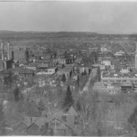
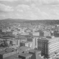
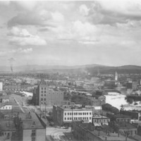
Looking southwest from north bank of Spokane River at about Division St.
