
Browse Items (1452 total)
- Collection: Postcards
Sort by:
Monument erected to show boundary line of United States & Canada at Blaine, Wash.
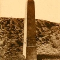
Monument erected to show boundary line of United States & Canada at Blaine, Wash.
Peace Arch, International Boundary Line, Canada, U. S. A., Blaine, Washington.
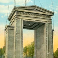
Peace Arch, International Boundary Line, Canada, U. S. A., Blaine, Washington.

Howard Street Bridge over Spokane River, Showing North and South Channels of Upper Falls at Spokane, Wash.
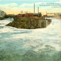
Howard Street Bridge over Spokane River, Showing North and South Channels of Upper Falls at Spokane, Wash.
Milling District and Howard Street Bridge, Spokane, Wash.
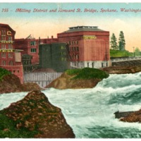
Milling District and Howard Street Bridge, Spokane, Wash.
Latah Creek Bridge, 6th Avenue, Spokane, Wash.
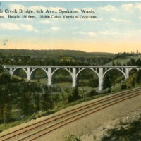
Hangman Creek Bridge (also known as Latah Creek Bridge), 6th Avenue, Spokane, Wash. Length 1020 Feet, Height 150 Feet, 33,800 cubic yards of concrete.
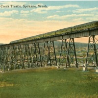
Latah Bridge, Spokane, Wash.
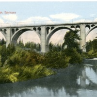
Hangman Creek Bridge (also known as Latah Creek Bridge), Spokane, Wash.
Latah Creek Bridge, 6th Avenue, Spokane, Wash.
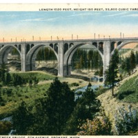
Hangman Creek Bridge (also known as Latah Creek Bridge), 6th Avenue, Spokane, Wash. Length 1020 Feet, Height 150 Feet, 33,800 cubic yards of concrete.
Latah Creek Bridge, Spokane, Wash.
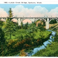
Hangman Creek Bridge (also known as Latah Creek Bridge), Spokane, Wash.
Latah Creek Bridge, Spokane, Wash.
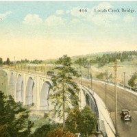
Hangman Creek Bridge (also known as Latah Creek Bridge), Spokane, Wash.
Spokane, Washington showing seven bridges and five waterfalls
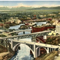
Aerial view of Spokane, Washington showing seven bridges and five waterfalls
C. M. & St. P. Train crossing Spokane River, Spokane, Wash.
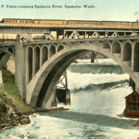
Monroe Street Bridge and Falls of the Spokane River, Spokane, Washington.
Spokane River, Riverside State Park, Spokane, Wash.
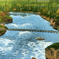
Spokane River, Riverside State Park, Spokane, Wash.
Bridge to Fort Wright from Natatorium Park, Spokane, Wash.
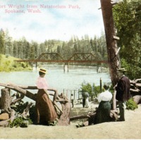
Bridge to Fort Wright from Natatorium Park, Spokane, Wash.
Bowl and Pitcher, Spokane River, Spokane, Washington
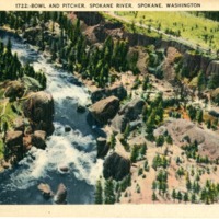
Aerial view of the Bowl and Pitcher on the Spokane River.
The Devil's Teapot, Spokane River, Spokane, Wash.
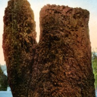
The Devil's Teapot (also known as the Bowl and Pitcher), Spokane River, Spokane, Wash.
Devil's Teapot, Spokane River, Spokane, Wash.
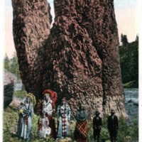
Devil's Teapot (later known as the Bowl and Pitcher), Spokane River, Spokane, Wash.
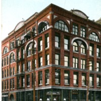
The Old National Bank Union Trust Company, Spokane, Wash.
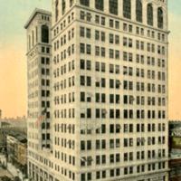
The Old National Bank Union Trust Company, Spokane, Wash.
New Home of the Old National Bank of Spokane.
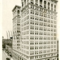
New Home of the Old National Bank of Spokane. Resources ten million dollars.
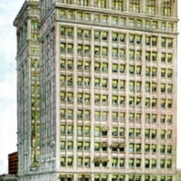
Old National Bank Building by Night, Spokane, Washington.
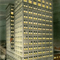
Old National Bank Building by Night, Spokane, Washington.
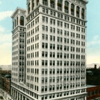
Old National Bank Building, Stevens and Riverside Avenue, Spokane, Washington.
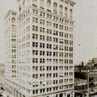
Old National Bank Building, Stevens and Riverside Avenue, Spokane, Washington.
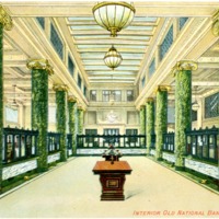
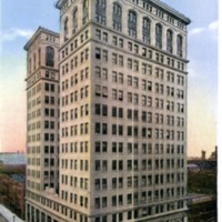
Old National Bank, Spokane, Washington.
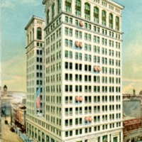
Old National Bank, Stevens and Riverside Avenue, Spokane, Washington.
Old National Bank Building, Stevens and Riverside Avenue, Spokane, Washington.
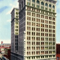
Old National Bank Building, Stevens and Riverside Avenue, Spokane, Washington.
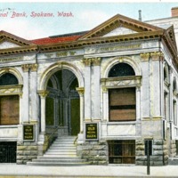
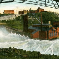
Monroe Street Bridge and Falls, Spokane, Wash.
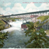
Second Monroe Street Bridge and Falls, Spokane, Wash.
Monroe Street Bridge & Lower Falls, Spokane, Wash.
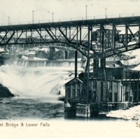
Second Monroe Street Bridge & Lower Falls, Spokane, Wash.
Sunset on Monroe St. Bridge, Spokane, Wash. during a storm
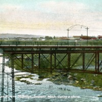
Sunset on Second Monroe St. Bridge, Spokane, Wash. during a storm
Monroe Street Bridge, Spokane, Washington.
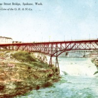
Second Monroe Street Bridge, Spokane, Washington. On the Line of the O. R. & N. Co.
Monroe Street Bridge and Falls, Spokane, Washington
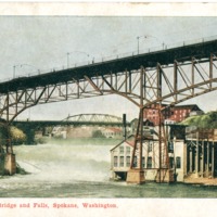
Second Monroe Street Bridge and Falls, Spokane, Washington
Monroe Street Bridge and Falls, Spokane, Washington
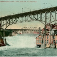
Second Monroe Street Bridge and Falls, Spokane, Washington
The Lincoln Savings Building. Riverside at Lincoln, Spokane, Wash.
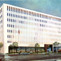
The Lincoln Savings Building. Riverside at Lincoln, Spokane, Wash.
The Marble Bank Building, Spokane, Wash.
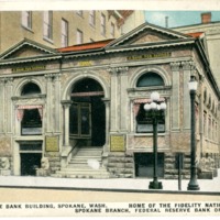
The Marble Bank Building, Spokane, Wash. Home of the Fidelity National Bank and Spokane Branch, Federal Reserve Bank of San Francisco.