Browse Items (569 total)
- Collection: Scenic Northwest
Sort by:
Northwest -- Forest Reserves (#08)
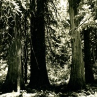
"Views in the Roosevelt Grove of the Big Cedars, a National Monument within easy driving distance of Spokane. These trees mark the last stand of the giant cedar in the Pacific Northwest. The grove covers approximately an area not greater than five to…
Northwest -- Forest Reserves (#07)
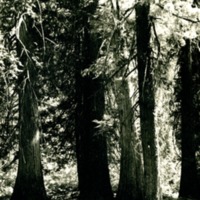
"Views in the Roosevelt Grove of the Big Cedars, a National Monument within easy driving distance of Spokane. These trees mark the last stand of the giant cedar in the Pacific Northwest. The grove covers approximately an area not greater than five to…
Northwest -- Forest Reserves (#06)

"Views in the Roosevelt Grove of the Big Cedars, a National Monument within easy driving distance of Spokane. These trees mark the last stand of the giant cedar in the Pacific Northwest. The grove covers approximately an area not great than five to…
Northwest -- Forest Reserves (#05)
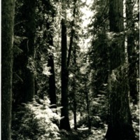
"Views in the Roosevelt Grove of the Big Cedars, a National Monument within easy driving distance of Spokane. These trees mark the last stand of the giant cedar in the Pacific Northwest. The grove covers approximately an area not greater than five to…



Northwest -- Caves (#02)

"Gardner Caves, Stevens County, Washington. Interior view showing the formations together with Mr. McMacken, Lewis and Clark High School"


Northwest -- Canyons -- Deep Creek (#25)

"Close-up of the pillow formation of lava on the east bank of the canyon."
Northwest -- Canyons -- Deep Creek (#24)

"Full view of the canyon showing both banks but taken to show the "pillow" lava formations on the east bank."
Northwest -- Canyons -- Deep Creek (#23)

"Boulder strewn bed of the canyon looking upstream from near the Latah deposits"
Northwest -- Canyons -- Deep Creek (#22)

"looking along the bed of the canyon in the downstream direction"
Northwest -- Canyons -- Deep Creek (#21)

"Isolated needle of lava rock jutting up from west rim of canyon."
Northwest -- Canyons -- Deep Creek (#17)

"Cheese-box like formation at foot of canyon and rising from east rim."
Northwest -- Canyons -- Deep Creek (#14)

"One of the rock pinnacles showing effect of differential weathering within the mid section of the canyon."
Northwest -- Canyons -- Deep Creek (#13)

"Example of differential weathering along the banks of the Spokane just east of the mouth of the Canyon"
Northwest -- Canyons -- Deep Creek (#12)

"Boulder strewn bed of the canyon with one of the peculiar terreted lava formations of the walls."


Northwest -- Canyons -- Deep Creek (#02)

"Viewed from east rim of Deep Creek Canyon about 3PM, March 28, 1937"


Spokane County -- Marshall Canyon (#01)
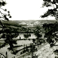
"Looking southwestward up the canyon from High Drive, Spokane."
Spokane County -- Hangman Valley (#04)

"Looking southward up the valley from High Drive parkway. To the left is Browne's Butte. Inland Empire Highway follows valley"
Spokane County -- Hangman Valley (#03)

"Looking northward down the valley from between two large pine trees and from near the Washington Water Power Company substation at 27th Avenue."
Spokane County -- Hangman Valley (#02)

"Looking northward down the valley and across the Sixth Avenue bridge from the High Drive parkway near the Washington Water Power Company's substation."
Spokane County -- Hangman Valley (#01)

"Looking southward up Hangman Valley and across the Stafford Addition from the end of 9th Avenue"

Spokane -- Long Lake (#18)
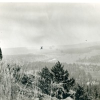
"Spokane Valley from Rim Rock looking West. Rattlesnake Point on right; X = Long Lake Dam site." George E. Meyers on left."